ISSN : 2349-3917
American Journal of Computer Science and Information Technology
Abstract
GIS-Based Geological Mapping in Achanakmar-Amarkantak Biosphere Reserve, Central India
Present Research is focused to investigate the objectives for determination of indicators, to identify the surface rock exposure through GIS. The present study is motivated by the idea to develop a method in which GIS data is used in order to optimize future investments; GIS have played a major role to establish the geological mapping foundation. Purpose of the current study is to analyze the rock distribution and structural geology through most advanced techniques of GIS. With the application of GIS in geological mapping, it became very easy for surveyors to create maps for any area with precise and desired scaling. Application of GIS in geological mapping results in accurate measurements of study area. According to this research we prepare a whole account of geological framework of Achanakmar-Amarkantak biosphere reserve (AABR). Arc GIS 9.3 Software which aided a better option for visualizing the terrain and mapping.
Author(s): Abhishek Kr. Maurya, S.K. Tripathi, Sandeep Kr. Soni
Abstract | PDF
Share This Article
Google Scholar citation report
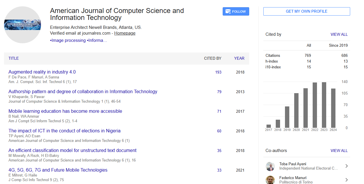
Citations : 769
Abstracted/Indexed in
- Google Scholar
- Genamics JournalSeek
- China National Knowledge Infrastructure (CNKI)
- CiteFactor
- Open Academic Journals Index (OAJI)
- Directory of Research Journal Indexing (DRJI)
- Jour Informatics
- CiteSeerx
- Journal Index.net
- Secret Search Engine Labs
Open Access Journals
- Aquaculture & Veterinary Science
- Chemistry & Chemical Sciences
- Clinical Sciences
- Engineering
- General Science
- Genetics & Molecular Biology
- Health Care & Nursing
- Immunology & Microbiology
- Materials Science
- Mathematics & Physics
- Medical Sciences
- Neurology & Psychiatry
- Oncology & Cancer Science
- Pharmaceutical Sciences